Devil’s Gap Trail
1040 Muriel Crescent, Gravenhurst
(and also seasonally accessible at the end of Clear Lake Road in warmer months)
4.3km In & Back (8.6km return)
Round trip to the just the gap and back is 3km from the more rolling east end or 5.6km from the flatter west end. All mixed-use, easy to follow trail.
This is the north end of Torrance Barrens and follows the old Musquash Colonization Road
According to the Town of Gravenhurst, back in the day farmer traveling the old road with a wagon & a team of oxen became stuck between the rocks. He went for help and upon his return, the wagon & oxen had disappeared without a trace, and the devil was blamed
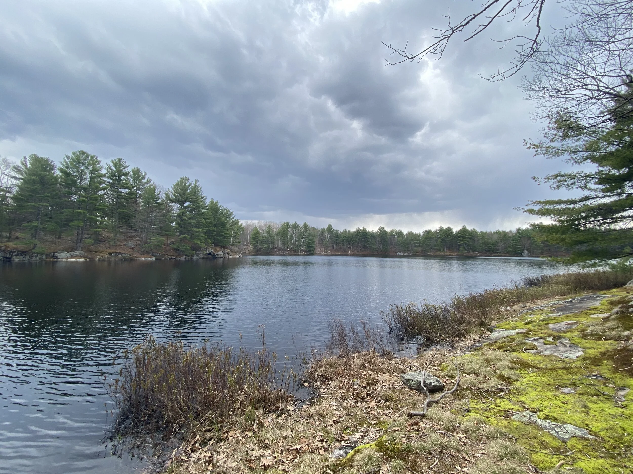
Tons of scenic water, some seasonal small bridge crossing, plus a really imposing beaver dam that creates a wall on the trail
The west-side trailhead access is seasonally accessible, though you can still use that end if you add up to 5km of walking on Clear Lake Road
If you want to track your #trailgoals, grab one of our Muskoka Trail Pin-Maps to check off the trails as you complete them!
Want more Muskoka adventure? Check out our Muskoka day trip route itineraries with locally curated stops that will take you to an awesome mix of off-the-beaten-path & must-see locations!